V okolí
Autobatérie ¤,
parkovisko ¤,
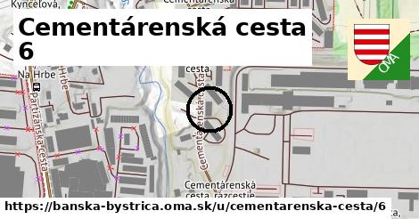
Cementárenská cesta ¤,
parkovisko ¤,
Cementárenská cesta ¤,
parkovisko ¤,
parkovisko ¤,
BKL / Hagard: HAL ¤,
Cementárenská cesta, rázcestie ¤,
Autopela Slovakia / Thule / Profiauto ¤,
parkovisko ¤,
Cementárenská cesta, rázcestie ¤Zastávky v okolí
Cementárenská cesta ¤,
Cementárenská cesta ¤,
Cementárenská cesta, rázcestie ¤,
Cementárenská cesta, rázcestie ¤,
Na Hrbe ¤,
Kynceľová, rázcestie ¤,
Partizánska cesta, rázcestie ¤,
Kynceľová, rázcestie ¤,
SAD ¤,
Senica, Jednota ¤,
Senica, Jednota ¤,
SAD ¤Iné čísla
Cementárenská cesta 8 ¤,
Cementárenská cesta 4 ¤,
Cementárenská cesta 1 ¤,
Cementárenská cesta 1A ¤,
Cementárenská cesta 3 ¤,
Cementárenská cesta 12 ¤,
Partizánska cesta 151 ¤,
Partizánska cesta 153 ¤,
Cementárenská cesta 5 ¤,
Cementárenská cesta 7 ¤,
Cementárenská cesta 14 ¤,
Partizánska cesta 151A ¤,
Partizánska cesta 139 ¤,
Partizánska cesta 89A ¤,
Partizánska cesta 141 ¤,
Cementárenská cesta 16 ¤,
Cementárenská cesta 32 ¤,
Cementárenská cesta 9 ¤,
Cementárenská cesta 18 ¤,
Partizánska cesta 137 ¤Viac o adrese
Viac info:
aktualizovať mapu,
uprav v JOSM (pokročilé),
-60956729,
stiahni GPX, cislo: 6, streetnumber: 4636 6, ulica: Cementárenská cesta, ulica asci: cementarenska cesta, postcode: 974 01, city: Banská Bystrica, Banská Bystrica Senica, oblast asci: banska bystrica, lon: 19.18931932147556, lat: 48.74385944229598,
Zdroj dát
Mapové údaje pochádzajú z
www.OpenStreetMap.org, databáza je prístupná pod licenciou
ODbL.

Mapový podklad vytvára a aktualizuje
Freemap Slovakia (www.freemap.sk), šíriteľný pod licenciou CC-BY-SA. Fotky sme čerpali z galérie portálu freemap.sk, autori fotiek sú uvedení pri jednotlivých fotkách a sú šíriteľné pod licenciou CC a z wikipédie. Výškový profil trás čerpáme z
SRTM. Niečo vám chýba?
Pridajte to. Sme radi, že tvoríte slobodnú wiki mapu sveta.